

Kheerganga Trek Distance from Kasol: Complete Route & Distance Guide

Neha Kapoor
August 21, 2026
A precise distance breakdown of the Kheerganga trek from Kasol — the 17km road transfer to Barshaini and the 12km trail to the hot springs, section by section.
Introduction
The Kheerganga trek is one of the most popular short treks in Himachal Pradesh, and for good reason — it combines a moderate forest trail through the Parvati Valley with a genuinely rewarding payoff at the top: natural hot water springs at 2,960 metres, with the snow-capped Pin Parvati range as a backdrop. Most trekkers base themselves in Kasol, the small riverside village that has become the unofficial hub of Parvati Valley tourism, and start their trek from Barshaini, about 17 kilometres up the valley road. Understanding the actual distance breakdown — from Kasol to the trailhead, and from the trailhead to the top — helps you plan your day realistically instead of being surprised by how long the trek actually takes.
Distance from Kasol to the Trailhead (Barshaini)
Kasol itself is not the starting point of the trek — it's the base where most people sleep the night before. The actual trailhead is at Barshaini village, roughly 17 kilometres further up the Parvati Valley road from Kasol, past Manikaran. This drive takes about 45 minutes to an hour by shared taxi or private cab, on a narrow but paved mountain road that hugs the Parvati River. Some trekkers instead start from Nakthan, a village slightly beyond Barshaini, which shaves off a small stretch of the trek but requires a rougher approach road. For a detailed look at this connecting drive, see our guide on the Kasol to Kheerganga trek itinerary.
Trekking Distance: Barshaini to Kheerganga
From Barshaini (about 2,050m), the actual trekking distance to Kheerganga (2,960m) is approximately 12 kilometres one way, with a total elevation gain of roughly 900 metres. This makes the round trip around 24 kilometres if done as a single up-and-down day trek, though the vast majority of trekkers split it into two days — trekking up on day one, soaking in the hot springs and camping overnight, and descending on day two. The trail is well-marked and heavily trodden, passing through Nakthan village, Rudra Nag waterfall, and a series of dhabas (small trailside eateries) that have sprung up to serve the steady stream of trekkers.
Breaking Down the Trail Sections
Barshaini to Nakthan (2.5 km)
The trek begins with a gentle to moderate climb out of Barshaini through pine and deodar forest, reaching the small settlement of Nakthan after about an hour and a half. This section gains roughly 200 metres and serves as a good warm-up for the steeper sections ahead.
Nakthan to Rudra Nag (4 km)
This is the most scenic and demanding middle section, where the trail crosses several wooden bridges over the Parvati River and climbs steadily through dense forest. Rudra Nag waterfall, roughly the trek's halfway point by distance, is a popular rest stop where the river crashes down a rocky gorge.
Rudra Nag to Kheerganga (5.5 km)
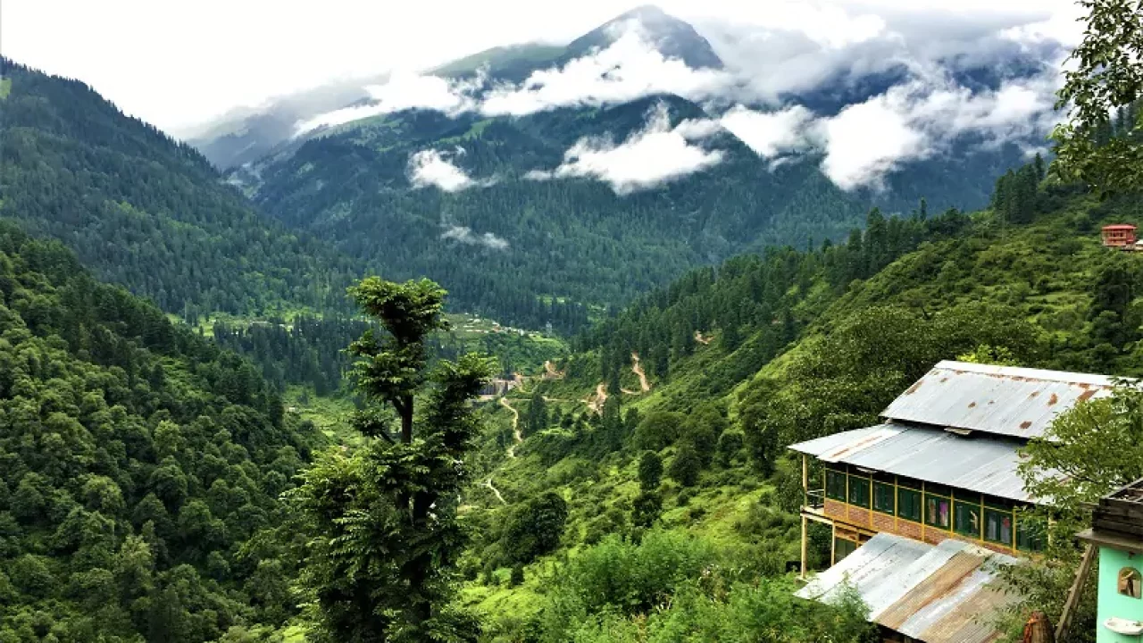
The final stretch is the steepest, gaining nearly 500 metres over the last five and a half kilometres. The forest thins out as you climb, and the last kilometre opens into the meadow that surrounds the Kheerganga hot springs, with views back down the valley and toward the snow peaks above Tosh.

Total Distance If Starting From Kasol
If you account for the full journey — the 17km road transfer from Kasol to Barshaini plus the 12km trek to Kheerganga — you're covering close to 29 kilometres of combined road and trail distance from Kasol village itself. This is why almost nobody attempts to walk from Kasol directly; the road portion is always covered by vehicle, and only the Barshaini-to-Kheerganga stretch is trekked on foot. Some travelers doing a broader Parvati Valley circuit combine this with a stop in Tosh village, which sits on a separate side trail from Barshaini and is often visited before or after the Kheerganga trek.
How Long Does the Trek Take?
Most trekkers cover the 12km ascent from Barshaini to Kheerganga in 5 to 7 hours, depending on fitness level and the number of stops at the dhabas along the way. The descent is faster, typically taking 3.5 to 4.5 hours. Because of the elevation gain and the steep final section, this is considered a moderate trek rather than an easy one, despite its short overall distance compared to multi-day Himalayan treks. For those weighing distance against difficulty, our companion piece on the Kasol Kheerganga trek distance guide offers additional pacing benchmarks.
Best Time to Trek Kheerganga from Kasol
March to June and September to November are the best windows. Summer months (March-June) offer pleasant daytime temperatures and blooming rhododendrons along the lower forest sections, while post-monsoon autumn (September-November) brings the clearest mountain views and cooler, more comfortable trekking conditions. The monsoon months of July and August see frequent landslides on the approach road and slippery trail conditions, and are best avoided. Winter (December-February) is possible for experienced trekkers but requires snow gear as the upper trail gets buried under snow.
Practical Tips for the Distance and Terrain
Carry at least 2 litres of water, though you'll find dhabas roughly every 3-4 kilometres selling tea, Maggi, and basic meals, so you don't need to carry all your food. Trekking poles genuinely help on the steep final stretch to Kheerganga. If you're not confident tackling the full 12km ascent in one push, breaking the trek with an overnight stop at Nakthan or a rest at Rudra Nag is a sensible option. Guided treks with porters, common through operators based in Kasol, can also carry your overnight gear so you're only carrying a daypack for the actual walking distance.
Conclusion
The Kheerganga trek distance from Kasol works out to roughly 17km by road to Barshaini and then 12km on foot to the hot springs — a combined journey of around 29km that rewards you with one of Himachal's most satisfying short treks. Whether you do it as a single long day or split it across two days with an overnight soak in the hot springs, understanding this distance breakdown helps you pace the trek properly and enjoy the Parvati Valley scenery without unnecessary fatigue.
Location
Frequently Asked Questions
Q1.What is the total distance from Kasol to Kheerganga?
Q2.Can I trek directly from Kasol without a vehicle?
Q3.How long does the 12km trek from Barshaini to Kheerganga take?
Q4.Is the trek doable in a single day from Kasol?
Q5.What is the elevation gain on the Kheerganga trek?
Q6.Are there food and water stops along the trail?
Recommended For You

Best Time for Kheerganga Trek: Season-by-Season Guide
A season-by-season guide to the best time for the Kheerganga trek, covering spring, monsoon, autumn, and winter snow trekking conditions.
Kasol: Complete Travel Plan Places And Weather
Complete Kasol travel guide featuring Parvati Valley, Kheerganga trek, Manikaran, Tosh village, cafes, trekking & practical tips.

Tosh Village Trek Guide: Route, Views, and Where to Stay
A complete Tosh village trek guide covering the easy approach walk from Barshaini, best time to visit, where to stay, and practical travel tips.
Never Miss an Adventure
Get the latest trekking guides, travel tips, and exclusive offers delivered straight to your inbox.
