Ningle Nallah Kashmir: Trek Route, Meadow Views & Trip Plan
Neha Kapoor
January 26, 2026
Visit Ningle Nallah near Gulmarg, Kashmir. Complete trek guide, camping spots, trout fishing, best time to visit & how to reach this alpine paradise.
Kashmir's Hidden Alpine Paradise
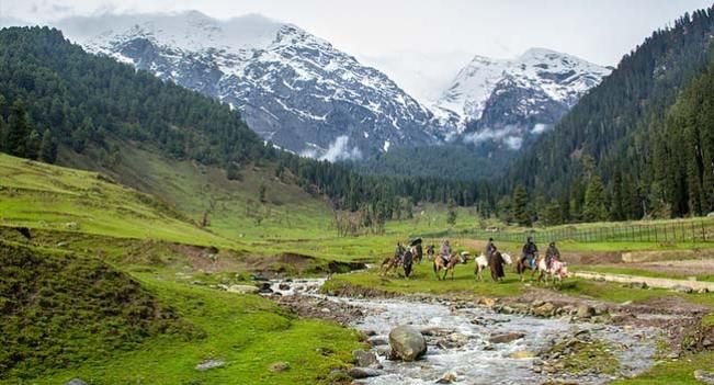
Ningle Nallah is one of the most rewarding offbeat nature spots near Gulmarg for travelers who want quiet alpine scenery without committing to a long expedition. The stream, meadows, and surrounding pine slopes create a calm mountain landscape that feels different from crowded sightseeing points. It is popular for short hikes, picnics, landscape photography, and in some seasons, trout-focused angling plans.
Many visitors first hear about Ningle Nallah through local taxi drivers, pony handlers, or Gulmarg guides rather than mainstream tour itineraries. That is why online information often appears inconsistent on distance, route start points, and trek duration. In practical terms, treat Ningle Nallah as a flexible day outing from Gulmarg with multiple approach options, not a single fixed-format trek.
If you are building a wider regional trip, combine this stop with nearby routes like places to visit in Gulmarg and keep an evening buffer for weather-led delays.
About Ningle Nallah
Ningle Nallah (also written as Ningli Nallah) is a mountain stream landscape associated with the Gulmarg region of Kashmir. Most travel sources place it roughly 8 to 10 kilometers from Gulmarg, depending on the specific road or trail reference used. The stream is commonly described as fed by meltwater from upper Gulmarg-Apharwat-Alpather catchments before continuing toward lower valleys and eventually joining larger river systems.
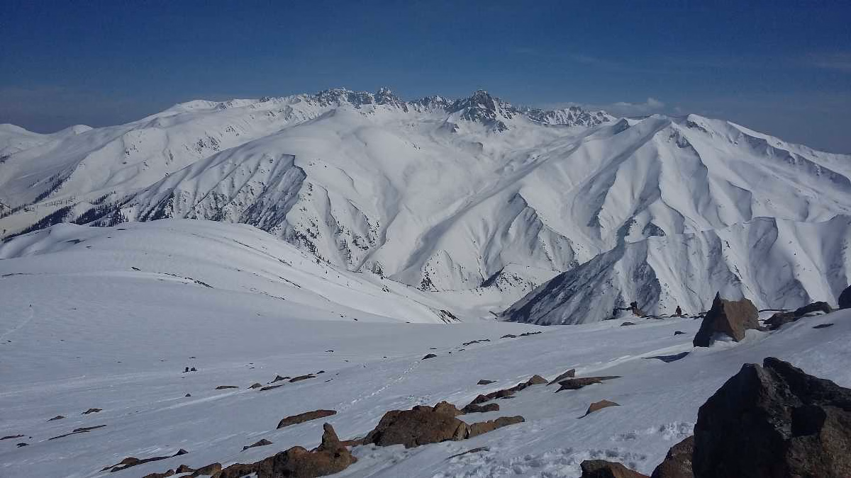
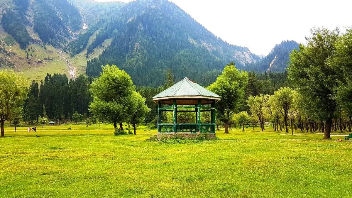
The area is known for open grassy sections, conifer-lined slopes, and broad valley views. In summer and autumn, it attracts families, short-hike travelers, photographers, and campers. In shoulder and winter months, conditions become colder, surfaces can turn slippery, and route confidence matters more.
| Key Detail | Typical Reference | Planning Note |
|---|---|---|
| Distance from Gulmarg | About 8-10 km | Varies by start point and route used |
| Best use | Day outing / short hike / picnic | Start early for better weather window |
| Terrain profile | Road + meadow + streamside stretches | Shoes with grip recommended |
| Facilities | Limited at spot | Carry water, snacks, and essentials |
The Trek and Access Experience
Searchers often look for one exact trek number, but Ningle Nallah access works through route variations. Some travelers use road access with a short walk. Others prefer a longer trail-based approach from Gulmarg side with pony support or guided movement. Because of these variations, you will see different duration claims online. Instead of chasing one number, pick your route style first: short scenic stop, moderate nature walk, or full day hike with breaks.
For a walk-first experience, begin early and keep a moderate pace. Trail segments can include muddy patches, uneven stones, and wet sections near stream crossings. If there has been recent rain, surfaces can become slippery quickly. Trek poles are optional but useful for beginners and family groups.
If you are new to Kashmir mountain trails, hiring a local guide from Gulmarg improves route confidence and time control. Guides also help with current trail condition updates, safer crossing points, and realistic turnaround decisions.
Pony vs Walking
Ponies are common for visitors who want low-exertion access. Walking gives better flexibility for photography and streamside pauses. A practical approach for mixed groups is partial pony usage for less-active members and guided walking for the rest, with a pre-fixed regroup point.
Trout Fishing Reality Check
Ningle Nallah is frequently mentioned in Kashmir trout discussions, but anglers should treat fishing as a regulation-bound activity, not an automatic add-on. Seasonal windows, permit needs, and enforcement can vary by local fisheries updates. Before carrying gear, verify current permissions in Gulmarg or Srinagar through official/local channels.
Where fishing is allowed, early morning usually offers calmer water and better conditions. Catch-and-release practice and low-impact handling help preserve stream quality. Use local guidance if you are unfamiliar with the area, especially for selecting safe standing spots around slippery stream edges.
| Fishing Factor | What To Do | Why It Matters |
|---|---|---|
| Permit status | Verify before trip day | Avoid legal issues and wasted planning |
| Season suitability | Confirm local advisories | Water level and flow change by month |
| Guide support | Use local angling guidance | Safer spot selection and better outcomes |
| Eco practice | Minimize disturbance | Protects fragile stream ecosystem |
Camping at Ningle Nallah
Camping is one of the strongest reasons people visit this area, but it should be approached responsibly. The valley is scenic yet sensitive: cold nights, changing weather, and limited on-ground facilities mean you must be self-sufficient.
Choose established flat areas where possible and avoid expanding campsite footprint into fragile grass zones. Keep camps compact, control noise, and avoid litter around the stream. If campfire rules are unclear, skip open fire and use controlled stove cooking instead.
Night Conditions
Even in warmer months, temperatures can drop sharply after sunset. Carry thermal layers, warm sleeping setup, and weatherproof outerwear. Morning condensation and damp ground are common, so keep extra dry socks and a moisture barrier under sleeping mats.
Best Time to Visit
The best season depends on your trip objective: easy access, greenery, clear photography, or snow mood. For most travelers, late spring to early autumn is the most practical window.
- April to June: Pleasant weather, fresh greenery, and easier trail days.
- July to August: Lush visuals but rain can create muddy/slippery sections.
- September to October: Clear skies, strong visibility, and crisp mornings.
- November to March: Snow and cold can limit comfort and mobility; only go with proper prep.
If you are deciding month-wise Kashmir travel pacing, compare this with Kashmir in September style conditions and your comfort with colder nights.
How to Reach Ningle Nallah
Most travelers reach Gulmarg first and then continue to Ningle Nallah by local taxi, pony-assisted route, or walking plan. From Srinagar, Gulmarg is commonly approached via Tangmarg road. The final segment to Ningle Nallah depends on your route preference and local condition updates for that day.
If you are arriving during peak holiday windows, keep buffer time for traffic and parking movement near key Gulmarg points. Early departures usually improve route flexibility and reduce crowd pressure.
Practical route flow
1. Reach Gulmarg early morning.
2. Finalize access mode (taxi / pony / trek).
3. Keep food-water carry for low-facility zone.
4. Set turnaround time before starting deeper trail sections.
5. Return before late-evening weather drop.
One-Day Itinerary from Gulmarg
This sample structure works for most first-time visitors:
Morning: Start from Gulmarg, reach Ningle Nallah zone, do streamside walk and photography.
Midday: Picnic or packed lunch break with hydration and rest.
Afternoon: Optional short hike segment or relaxed return.
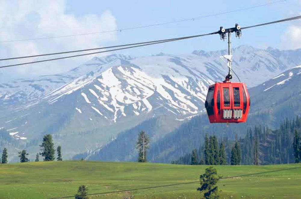
Evening: Back to Gulmarg for local sightseeing or gondola-side plans like Gulmarg Gondola.
This keeps fatigue manageable and leaves enough safety margin for changing mountain weather.
Budgeting and On-Ground Costs
Ningle Nallah itself is often treated as a free-entry nature zone, but real day cost includes transport, guide/pony support, meals, and contingency. Budget in buckets rather than one fixed amount because rates vary by season and negotiation.
- Local transfer from Gulmarg
- Guide or pony support (if used)
- Food and water carry
- Rain/cold contingency purchases
- Optional camping logistics
Safety and Responsible Travel Checklist
- Start early and avoid late downhill returns in poor light.
- Carry drinking water, basic medical kit, and phone backup power.
- Wear grip shoes; wet grass and stones can be slippery.
- Avoid risky stream crossings without local guidance.
- Do not litter or wash chemicals/soap in stream water.
- Respect local communities, grazing zones, and prayer spaces nearby.
Common Mistakes to Avoid
Travelers usually face problems from poor timing, not difficulty level. Top errors include late starts, no weather buffer, overestimating route speed, carrying insufficient water, and assuming online route details are always current. Another common mistake is treating Ningle Nallah as a quick photo stop without proper footwear, which can become risky on wet terrain.
Final Takeaway
Ningle Nallah Kashmir is ideal for travelers who want alpine scenery, streamside calm, and flexible adventure near Gulmarg without committing to a high-difficulty trek. With realistic route planning, seasonal awareness, and responsible behavior, it can become one of the most memorable low-crowd experiences in your Kashmir itinerary.
Plan simple, start early, and keep logistics practical. That is the best way to enjoy Ningle Nallah safely and fully.
Photography, Family Visits, and Seasonal Caution
Ningle Nallah is highly photogenic, especially during early morning and late afternoon when light is softer and water reflections are cleaner. Wide shots work best from meadow edges, while stream-level shots capture the texture of stones and flowing water. If you are carrying camera gear, use weather protection because mountain moisture and sudden drizzle can appear without warning.
Families can comfortably include this destination when the day is paced correctly. The easiest formula is a short access segment, one fixed picnic stop, and a time-bound return. Avoid overstretching deeper trails with young children or seniors, especially if weather starts changing. Keep warm layers, dry socks, and quick snacks for all members. A group that stays warm and hydrated usually enjoys the location more than a group that rushes for too many checkpoints.
Winter visits should be planned with extra caution. Snow cover can make route edges and stream-adjacent ground unstable, and simple slips become serious in cold conditions. If you are not experienced in winter movement, choose guided access or postpone to a clearer season. In all seasons, the safest decision is to return early if visibility drops, rain begins, or terrain confidence falls.
Location
Frequently Asked Questions
Q1.Where is Ningle Nallah located?
Q2.How far is Ningle Nallah from Gulmarg?
Q3.What is the best time to visit?
Q4.Is the Ningle Nallah trek difficult?
Q5.Can we camp at Ningle Nallah?
Q6.Is trout fishing allowed?
Q7.How long does the trek take?
Q8.Do I need a guide for Ningle Nallah?
Recommended For You
Gulmarg Gondola: Phases, Ticket Booking & Ride Details
Ride Asia's highest cable car in Gulmarg, Kashmir. Complete guide covering ticket prices, two phases, timings, best time to visit, booking & safety tips.
Apharwat Peak Gulmarg: Gondola Phases, Snow Season & Activities
Explore Apharwat Peak in Gulmarg at 4,390m. Complete guide to gondola ride, best time to visit, skiing tips, trekking information & nearby Alpathar Lake in Kashmir.
Kashmir in September: Weather, Places & Tips
Planning Kashmir in September? Get weather details, top places, things to do, packing tips, and practical itinerary advice for a smooth valley trip.
Never Miss an Adventure
Get the latest trekking guides, travel tips, and exclusive offers delivered straight to your inbox.