Leh to Pangong Lake Bike Trip: Route, Distance & Tips
Rohit Verma
November 29, 2025
Leh to Pangong Lake bike trip guide with route, distance, Chang La crossing tips, permits, stay options, and practical safety planning for riders.
Introduction: The Most Iconic Ride from Leh
The Leh to Pangong Lake bike trip is one of the most iconic road journeys in Ladakh and, for many riders, the emotional highlight of their entire circuit. It combines smooth highway stretches, high-altitude climbing, dramatic barren landscapes, and the final reward of Pangong Tso’s changing colors. The route is not technically extreme, but altitude, weather swings, and long riding hours demand planning and discipline.
What makes this ride special is its progression. You start from Leh’s familiar town rhythm, move toward Karu and uphill mountain roads, cross the high Chang La pass zone, then descend through remote valleys toward Tangse and the lakeside villages near Pangong. Every stage looks different. If your bike is prepared and your timing is realistic, this route becomes both accessible and unforgettable. In this guide, you will find distance details, route strategy, pass reality, permit guidance, itinerary options, fuel planning, stay choices, and safety tips for a smoother ride. You can pair this plan with Changla pass Ladakh, Leh to Tso Moriri bike trip, and Nubra Valley Ladakh.

Leh to Pangong Distance and Route Breakdown
The commonly used Leh to Pangong one-way distance is around 160 km, though practical riding distance varies slightly depending on your lake-side destination point and where you stay. Some riders stop near Lukung, while many continue to Spangmik for wider accommodation options and better sunrise or sunset positioning.
| Segment | Approx Distance | Ride Character |
|---|---|---|
| Leh to Karu | ~35 km | Good paved road, warm-up section |
| Karu to Chang La top region | ~40 km | Climb with hairpins and altitude gain |
| Chang La to Tangse | ~35-40 km | Mixed descent, variable surfaces |
| Tangse to Pangong (Lukung/Spangmik) | ~45-50 km | Scenic run to lake belt |
Typical one-way riding time is about 5 to 7 hours in stable conditions without long delays. In reality, photo halts, traffic at narrow patches, and weather can extend this. Always calculate with buffer, not ideal conditions.
Route Details: Leh → Karu → Chang La → Tangse → Pangong
The route starts southeast from Leh toward Karu. Early morning departure helps you avoid congestion and gives extra daylight in case the pass section slows down. Karu often acts as the last practical prep point before sustained climbing begins.
After Karu, the road gains altitude toward Chang La. The landscape shifts from open valley road to sharper mountain cut sections. Near the top, weather can change quickly—sun, wind, fog, and cold patches may appear in a short span. Descending from Chang La toward Tangse, you may find mixed conditions depending on maintenance cycles and recent weather.
From Tangse onward, the route usually feels more relaxed, with broad mountain views and long visual lines leading toward Pangong’s basin. The final approach is often the most emotional part for first-time riders, especially when the lake first appears as a narrow deep-blue strip and then opens into a vast high-altitude shoreline.
Chang La Pass Crossing: What Riders Should Know
Chang La is one of the most discussed points on this ride because of altitude, temperature, and riding psychology. Even experienced riders feel the thin air, especially if acclimatization is incomplete. The key is not speed; it is controlled progression and hydration.
- Altitude challenge: high elevation can trigger breathlessness and faster fatigue.
- Weather behavior: conditions can flip rapidly, even on otherwise clear days.
- Riding style: smooth throttle and gentle braking reduce stress on rider and bike.
- Stop discipline: avoid very long halts at the highest point if you feel discomfort.
Layer before the cold hits, not after. Keep gloves and neck coverage accessible. If you experience headache, nausea, or unusual dizziness, prioritize safety and descend to a lower elevation zone instead of forcing pace. For a focused pass briefing, read Changla pass Ladakh.
Road Conditions and Difficulty Level
Road quality on the Leh to Pangong route is mixed but usually manageable for riders with basic mountain-road confidence. Leh to Karu is generally straightforward. The climb section has better and rougher patches alternating by season and repair activity. Downhill sections after pass zones may include broken edges, temporary gravel, or occasional slushy stretches depending on snowmelt and rain.
Difficulty is often best described as moderate. The road itself is not an extreme off-road trail, but altitude turns ordinary riding errors into bigger risks. Overtaking blindly, skipping hydration, and pushing long hours without breaks are the most common reasons riders struggle.
| Factor | Assessment | Practical Tip |
|---|---|---|
| Technical riding | Moderate | Hold a steady pace and avoid sudden inputs |
| Altitude load | High impact | Acclimatize 2-3 days in Leh first |
| Weather risk | Variable | Start early; keep warm layers ready |
| Fuel reliability | Limited en route | Tank up in Leh and carry reserve |
Itinerary Options: Day Ride vs Overnight
Option 1: Same-Day Return (Long and Tiring)
Who it suits: Very fit, acclimatized riders with strict pacing and early departure.
Pattern: Leave Leh around dawn, reach Pangong by late morning, short halt, return to Leh by late evening.
This is possible but exhausting. It reduces the lake experience and increases fatigue on return.
Option 2: Overnight at Pangong (Recommended)
Who it suits: Most riders and first-time visitors.
Day 1: Leh to Pangong with flexible stops and photo windows.
Day 2: Sunrise at lake, relaxed breakfast, return to Leh in daylight.
This option offers better safety, better photography, and time to enjoy the destination rather than rushing it.
Option 3: Extended Circuit Plan
If you are building a longer Ladakh loop, Pangong can connect to broader circuits that include Hanle, Tso Moriri, or Nubra-focused schedules depending on route status and permits. For example, many riders pair this with Leh to Tso Moriri bike trip after sufficient rest and route verification.
Inner Line Permit for Pangong
Yes, an Inner Line Permit is generally required for Indian travelers visiting Pangong-side restricted areas. Rules can change, so always verify latest requirements in Leh before departure. Permit processing is commonly done online or through local facilitation in Leh, and physical copies should be carried for checkpoint use.
Carry multiple printouts with ID proof. Digital copies help, but paper copies are more reliable in low-network checkpoints. Keep your permit papers organized in a waterproof sleeve with vehicle documents and emergency contacts. For broader permit guidance, see permits for Ladakh road trip.
- When to arrange: Preferably 1-2 days before ride day.
- What to carry: ID, permit copies, bike docs, and route plan.
- Checkpoint readiness: Keep documents easily accessible to avoid delays.
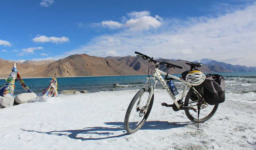
Pangong Lake Experience: What to Expect on Arrival
Pangong is not just a viewpoint stop. The lake atmosphere changes through the day—morning can feel still and glassy, afternoons can bring stronger winds, and late light often creates dramatic color shifts from steel blue to turquoise tones depending on sky cover and angle. At over 4,000 meters, even simple walking can feel tiring if you arrive dehydrated.
Avoid overexertion on arrival. Hydrate, layer against wind chill, and give yourself time to settle before moving around for photos. Popular points may be crowded in peak season, so short walks away from dense zones often produce better views and calmer frames.
If you stay overnight in Spangmik or nearby camps, sunrise and early light are usually the most rewarding windows. Nights can get very cold even in riding season, so prioritize warm sleep setup and early dinner.
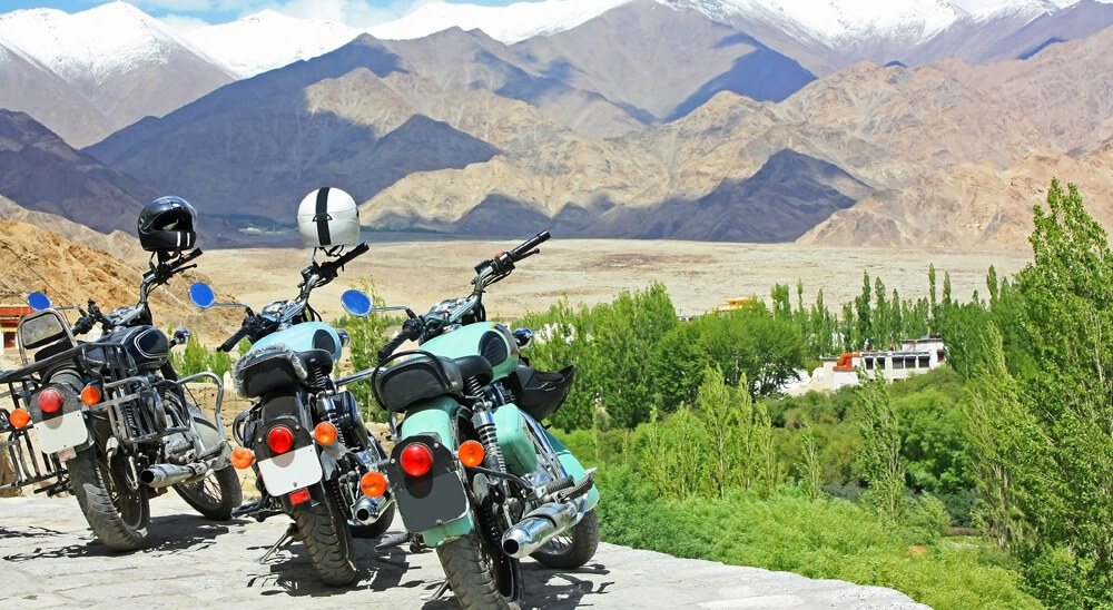
Accommodation, Food, and Facilities Near Pangong
Accommodation around Pangong is typically basic to mid-level, with seasonal camps and guesthouse-style stays concentrated near Spangmik and nearby belts. Expect practical comfort, not city-style luxury. Electricity may be limited by generator schedules or solar setups, and network reliability varies.
| Facility | Typical Availability | Useful Advice |
|---|---|---|
| Stay options | Camps, guesthouses, homestay-style units | Pre-book in peak months |
| Food | Simple meals (dal, rice, noodles, tea) | Carry backup snacks and hydration salts |
| Power | Limited charging windows | Bring power bank and charge in advance |
| Network | Patchy to weak | Use offline maps and pre-shared itinerary |
Tangse can work as an alternate halt for riders who prefer a less exposed overnight stop or need flexibility due to weather changes.
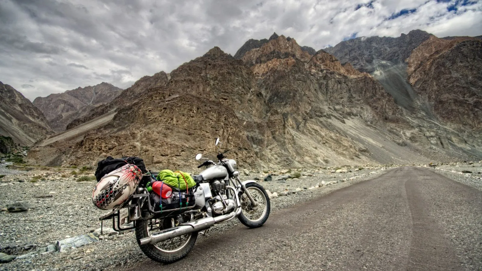
Packing and Riding Checklist for This Route
- Bike prep: brakes, clutch, chain tension, tire health, puncture kit.
- Fuel strategy: full tank in Leh and reserve fuel if your range is tight.
- Riding gear: thermal base layer, windproof jacket, insulated gloves.
- Health kit: personal medicine, altitude-safe pacing, oral rehydration salts.
- Navigation: offline map plus key halt names written offline.
- Communication: share route and ETA with a trusted contact.
Simple preparation decisions make the difference between a stressful day and a smooth ride.
Common Mistakes to Avoid
1) Leaving without acclimatization: this is the biggest avoidable risk.
2) Treating Chang La like a speed section: controlled riding is safer and often faster overall.
3) Underestimating cold: pass and lake zones can be harsh even in summer sunlight.
4) No fuel buffer: always account for delays and idling.
5) Overpacked schedule: too many stops can push you into late-evening fatigue.
Final Takeaway
The Leh to Pangong Lake bike trip is iconic for good reason: it is scenic, emotionally rewarding, and achievable for prepared riders. Start early, acclimatize properly, respect altitude, and keep your plan realistic around weather and daylight. Whether you do it as an overnight ride or as part of a larger Ladakh loop, the journey to Pangong becomes far better when you prioritize patience over haste. Ride smart, pause often, and let the route unfold.
Location
Frequently Asked Questions
Q1.What is the distance from Leh to Pangong Lake?
Q2.How long does it take to ride from Leh to Pangong?
Q3.Is the road to Pangong Lake in good condition?
Q4.What is the route from Leh to Pangong Lake?
Q5.How difficult is Chang La Pass for bikers?
Q6.Can I do a day trip to Pangong from Leh?
Q7.Do I need a permit for Pangong Lake?
Q8.Where can I stay near Pangong Lake?
Recommended For You
Leh to Hanle Bike Trip Guide: Route, Distance & Tips
Leh to Hanle bike trip guide with route options, distance, road conditions, permits, fuel strategy, homestays, and practical stargazing planning tips.
Ladakh Road Trip Permits: Complete Guide (Online Apply)
Ladakh road trip permits guide covering online application, documents, route-wise access, fee components, and practical checkpoint rules.
Nubra Valley Ladakh: Itinerary, Permits, Route & Stay Options
Plan your Nubra Valley Ladakh trip with route strategy, acclimatization tips, season guidance, and practical budget planning.
Never Miss an Adventure
Get the latest trekking guides, travel tips, and exclusive offers delivered straight to your inbox.