
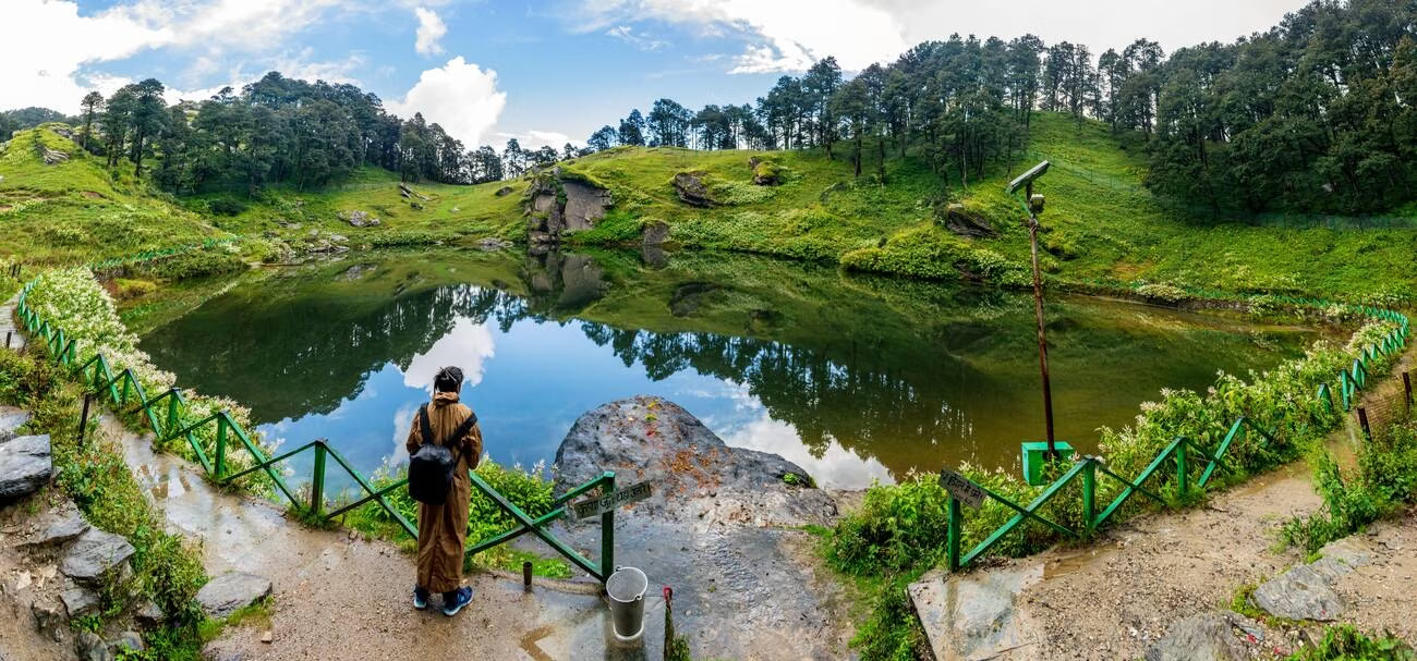
Serolsar Lake Himachal: Trek Route, Distance & Best Season

Priya Mehta
December 13, 2025
Trek to pristine Serolsar Lake near Jalori Pass in Himachal. Complete guide with trek difficulty, best time, route, camping & preparation tips.
Serolsar Lake Himachal: Complete Trek and Planning Guide
Serolsar Lake is one of Himachal’s most rewarding moderate treks for travelers who want forest trails, high-altitude lake silence, and low-commercial mountain atmosphere. People searching this keyword usually need clarity on difficulty, route, season, and stay options around Jalori-Shoja zones. This guide covers those essentials with practical trekking logic.
Unlike highly commercial treks, Serolsar works best with measured pacing and basic preparation. For route pairing, combine this guide with Shoja travel guide and treks near Manali if you are planning a wider Himachal nature loop.
Why Serolsar Lake Is Special
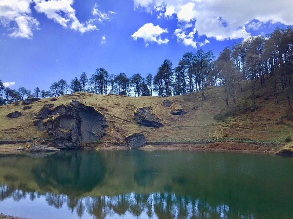
Serolsar is valued for its still water setting, cedar-forest approach, and spiritual calm around the lake zone. It is not a high-noise adventure trail. It is a reflective trek where the experience comes from rhythm, forest sound, and gradual elevation gain.
The route is suitable for reasonably fit beginners with basic trekking preparation in fair weather windows.
Trek Basics
The common approach starts from the Jalori Pass side and moves through forested sections toward the lake. Trail quality is generally manageable in good conditions, but weather can alter footing quickly. Carry grip-friendly shoes and avoid overestimating speed.
Most trekkers complete as a day hike, while some combine with camping or nearby stay plans.
Best Time to Visit Serolsar Lake
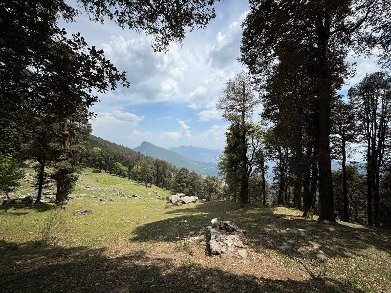
Spring to autumn: generally best for clear trail movement. Monsoon: greener route but slippery sections possible. Winter: advanced conditions with snow and route complexity.
First-time trekkers should prioritize stable season windows. Winter attempts require stronger gear, experience, and local guidance.
How to Reach Starting Point
Travelers usually approach via Banjar-Shoja-Jalori side roads. Final trekking start depends on current road access and conditions. Always verify local updates before departure.
For broader valley context, compare with valleys in Himachal and Great Himalayan National Park planning if extending your trip.
What to Carry
- Trekking shoes with solid grip.
- Layered clothing and rain protection.
- Water and high-energy snacks.
- Basic first-aid and personal medicine.
- Offline map and flashlight backup.
Do not rely on on-route shop availability for essentials.
Camping and Stay Options
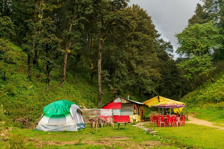
Many travelers prefer staying in Shoja/Jalori side properties and doing Serolsar as a day trek. Camping may be possible in suitable zones, but follow local rules and no-trace principles strictly. Mountain waste discipline is non-negotiable in fragile lake ecosystems.
Safety and Trek Discipline
- Start early for better daylight margins.
- Avoid solo late-return movement in poor visibility.
- Watch weather changes closely near ridge sections.
- Keep pace moderate and energy steady.
- Do not disturb lake surroundings or leave litter.
Sample Serolsar Day Plan
Morning: early start and trail entry. Midday: lake halt and controlled rest. Afternoon: descent before low-light phase. Evening: return stay and recovery meal.
This simple structure keeps risk low and experience quality high.
Final Verdict
Serolsar Lake is an excellent Himachal trek for travelers seeking a calmer, nature-first mountain day with strong visual and meditative value. With proper footwear, weather awareness, and a clean trail ethic, it delivers one of the region’s most satisfying short treks.
For offbeat route expansion, combine it with Old Manali and treks from Kasauli based on your total trip duration.
Detailed Itinerary Optimization
A stronger trip comes from sequencing, not just destination count. Keep each day focused on one core movement axis and one flexible backup option. For example, in mountain routes, start with viewpoint windows in the morning and keep denser transfers for later only if weather remains stable. This pattern protects both safety and travel satisfaction while reducing rushed decision-making.
Meal and rest planning also influence experience quality more than most travelers expect. Schedule one stable meal stop and one lighter break in every active day. Hydration and temperature management are especially important in high-altitude or coastal humidity conditions. These small decisions improve energy, photography outcomes, and your ability to adapt when plans shift.
Accommodation selection should be based on route logic, not only visuals. A scenic stay that adds two hours of daily commute can reduce overall trip quality. Prioritize location, access reliability, and essential comfort features. If remote work or calls are needed, confirm network consistency before booking. For family travel, check meal timing and heating or cooling support in advance.
When weather uncertainty is high, build a layered plan: primary route, secondary route, and local fallback loop. This avoids day loss and keeps momentum during unpredictable windows. Keep offline maps, cash backup, and emergency essentials ready. Experienced travelers treat these as standard planning, not optional extras.
If you are extending the journey, useful related reading includes shoja himachal pradesh, treks manali, valleys himachal, great himalayan national park.
Local Culture and Responsible Travel
Respect for local culture improves both safety and hospitality outcomes. Dress appropriately in spiritual spaces, ask before close-up photography, and avoid high-noise behavior in quiet settlements. In sensitive ecological zones, follow no-litter discipline and avoid single-use plastics where possible. Responsible behavior helps preserve destinations and keeps local communities supportive of tourism.
Support local businesses where feasible: guides, homestays, regional eateries, and small handicraft sellers. This gives your trip stronger local value and often produces better insight than standardized tourist circuits. Authentic recommendations usually come from people who live in the destination, so leave time for conversation and flexible discovery.
Finally, maintain realistic pace. High-output itineraries look impressive on paper but often reduce enjoyment in real conditions. A good trip is not measured by maximum check-ins, but by quality of experience, safety, and meaningful memory retention. Plan smart, stay flexible, and let the destination unfold with its natural rhythm.
Detailed Itinerary Optimization
A stronger trip comes from sequencing, not just destination count. Keep each day focused on one core movement axis and one flexible backup option. For example, in mountain routes, start with viewpoint windows in the morning and keep denser transfers for later only if weather remains stable. This pattern protects both safety and travel satisfaction while reducing rushed decision-making.
Meal and rest planning also influence experience quality more than most travelers expect. Schedule one stable meal stop and one lighter break in every active day. Hydration and temperature management are especially important in high-altitude or coastal humidity conditions. These small decisions improve energy, photography outcomes, and your ability to adapt when plans shift.
Accommodation selection should be based on route logic, not only visuals. A scenic stay that adds two hours of daily commute can reduce overall trip quality. Prioritize location, access reliability, and essential comfort features. If remote work or calls are needed, confirm network consistency before booking. For family travel, check meal timing and heating or cooling support in advance.
When weather uncertainty is high, build a layered plan: primary route, secondary route, and local fallback loop. This avoids day loss and keeps momentum during unpredictable windows. Keep offline maps, cash backup, and emergency essentials ready. Experienced travelers treat these as standard planning, not optional extras.
If you are extending the journey, useful related reading includes shoja himachal pradesh, treks manali, valleys himachal, great himalayan national park.
Local Culture and Responsible Travel
Respect for local culture improves both safety and hospitality outcomes. Dress appropriately in spiritual spaces, ask before close-up photography, and avoid high-noise behavior in quiet settlements. In sensitive ecological zones, follow no-litter discipline and avoid single-use plastics where possible. Responsible behavior helps preserve destinations and keeps local communities supportive of tourism.
Support local businesses where feasible: guides, homestays, regional eateries, and small handicraft sellers. This gives your trip stronger local value and often produces better insight than standardized tourist circuits. Authentic recommendations usually come from people who live in the destination, so leave time for conversation and flexible discovery.
Finally, maintain realistic pace. High-output itineraries look impressive on paper but often reduce enjoyment in real conditions. A good trip is not measured by maximum check-ins, but by quality of experience, safety, and meaningful memory retention. Plan smart, stay flexible, and let the destination unfold with its natural rhythm.
Location
Frequently Asked Questions
Q1.Where is Serolsar Lake located?
Q2.How far is Serolsar Lake from Kullu?
Q3.What is the best time to visit Serolsar Lake?
Q4.Is the Serolsar Lake trek difficult?
Q5.How long does the Serolsar Lake trek take?
Q6.Can we do the Serolsar Lake trek in winter?
Q7.Are there campsites at Serolsar Lake?
Q8.What should I carry for the Serolsar Lake trek?
Recommended For You
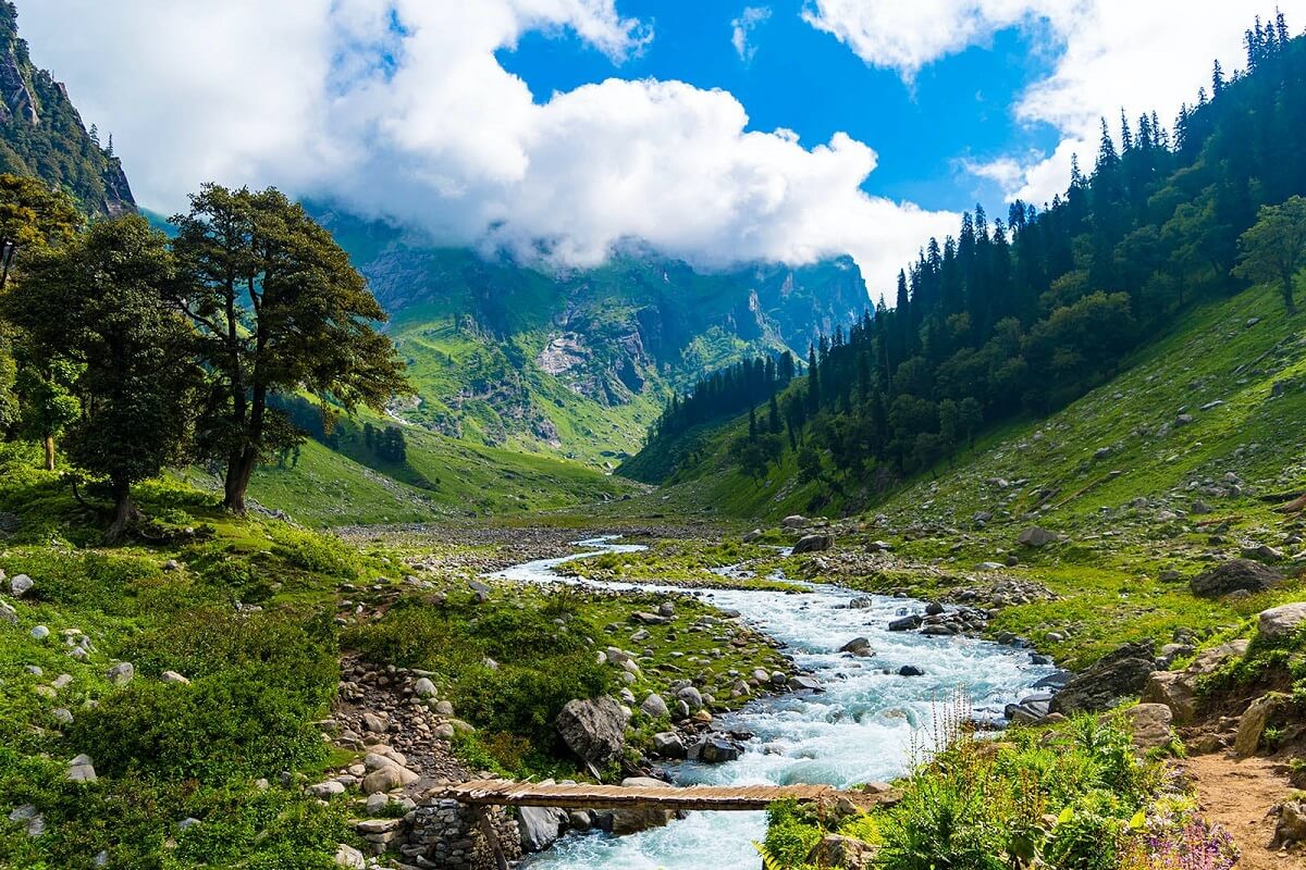
Valleys in Himachal Pradesh: Top Picks, Routes & Best Season
Compare the most famous valleys in Himachal Pradesh with practical route planning, season guidance, and travel tips for Kullu, Spiti, Kangra, Parvati, and beyond.
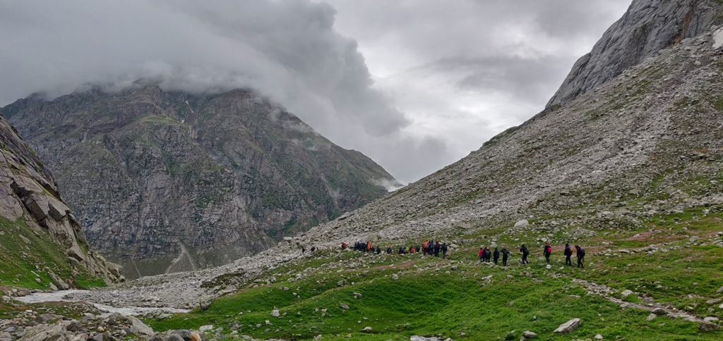
Treks in Manali: Best Routes, Camps & Difficulty Levels
Explore the best treks in Manali with difficulty-wise options, season planning, fitness prep, and practical trekking tips.
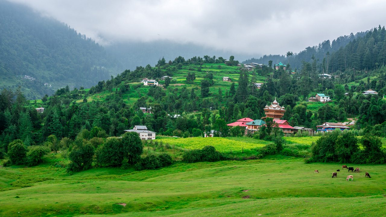
Great Himalayan National Park: Trek Routes, Permits & Wildlife
Explore Great Himalayan National Park (GHNP): UNESCO World Heritage Site in Kullu. Complete guide to trekking routes, wildlife spotting, permits, best time to visit, and accommodation.
Never Miss an Adventure
Get the latest trekking guides, travel tips, and exclusive offers delivered straight to your inbox.
