
Longest Rivers in India: Top 10 List, Length & Basin Overview
Rohan Malhotra
December 11, 2025
Complete guide to the longest rivers in India with top 10 list, lengths, origins, tributaries, river systems, and why these waterways matter.
Introduction: Rivers as India’s Lifelines
India’s river systems shape geography, agriculture, trade routes, settlement patterns, and cultural life at a massive scale. From snow-fed Himalayan channels to rain-fed peninsular networks, rivers support food security, drinking water, fisheries, inland biodiversity, and spiritual traditions across regions. That is why understanding the longest rivers in India is more than a quiz topic—it is a way to understand how the country physically and economically functions.
When people ask which is the longest river in India, the answer often starts with the Ganga. But a complete view also includes Godavari, Krishna, Yamuna, Narmada, and several other major systems that sustain millions of people and ecosystems. This guide gives a practical top-10 list with approximate lengths, origins, states, tributaries, and river-mouth context, followed by river-system classification, environmental concerns, and tourism ideas. For related reads, explore rivers Meghalaya, Bhutan rivers, and biggest dams in India.
Top 10 Longest Rivers in India
The ranking below uses widely referenced approximate lengths for educational and travel context. Exact values can vary slightly across different survey standards, cross-border calculations, or tributary treatment methods.
| Rank | River | Approx Length (km) | Primary Flow Context |
|---|---|---|---|
| 1 | Ganga | 2,525 | Himalayan-origin, Bay of Bengal basin |
| 2 | Godavari | 1,465 | Longest peninsular river in India |
| 3 | Krishna | 1,400 | Major Deccan river system |
| 4 | Yamuna | 1,376 | Major Ganga tributary |
| 5 | Narmada | 1,312 | Major west-flowing river |
| 6 | Indus (in India) | ~1,114 | Transboundary Himalayan system |
| 7 | Brahmaputra (in India) | ~916 | High-discharge eastern system |
| 8 | Mahanadi | 858 | Central-eastern river basin |
| 9 | Kaveri | 805 | Southern cultural-agricultural river |
| 10 | Tapti | 724 | West-flowing peninsular river |
1) Ganga (Ganges) – Approx 2,525 km
The Ganga is widely considered the longest river system centered in India and one of the most culturally influential rivers in the world. Its upper origin is associated with the Gangotri glacier region, and it moves through major plains before reaching the deltaic zone shared with the Brahmaputra system near the Bay of Bengal.
Key tributaries include Yamuna, Ghaghara, Gandak, and Kosi, among others. The river supports irrigation, population centers, riverfront economies, and religious circuits. Cities along the Ganga also shape pilgrimage and heritage tourism patterns. If you are exploring major river-city experiences, routes around Varanasi and Rishikesh often appear in wider itineraries like places to visit India.
2) Godavari – Approx 1,465 km
Godavari is the longest river in peninsular India and is often referred to as the “Ganga of the South” in popular usage. It rises near Trimbakeshwar in Maharashtra and travels through multiple states before entering the Bay of Bengal. The basin supports farming belts, hydrological projects, and settlement networks in central and southern India.
Major tributaries include Pranhita and Indravati. From a geographic perspective, Godavari demonstrates how peninsular systems differ from Himalayan snow-fed rivers: flow behavior is more monsoon-linked and basin management heavily depends on seasonal rainfall and reservoirs.
3) Krishna – Approx 1,400 km
The Krishna river originates near Mahabaleshwar and flows across major parts of the Deccan plateau toward the eastern coast. It is central to agriculture and irrigation planning in multiple states. Tributaries such as Bhima and Tungabhadra play key roles in expanding the river’s hydrological influence.
Krishna also appears frequently in south-central India’s water-sharing and river-basin planning discussions. For travelers, the basin is less about a single tourist “riverfront” identity and more about distributed landscapes, reservoirs, and historic settlement corridors.
4) Yamuna – Approx 1,376 km
Originating in the Yamunotri region, Yamuna is one of the most significant tributaries of the Ganga and passes through key northern urban and agricultural zones before joining the Ganga at Prayagraj. Tributaries such as Chambal, Betwa, and Ken add regional hydrological depth.
Yamuna’s importance is both geographic and civic: it supports dense populations and urban water requirements while also facing strong pollution and flow-stress pressure in major city stretches. River restoration and basin health remain critical policy themes.
5) Narmada – Approx 1,312 km
Narmada is one of India’s major west-flowing rivers and is notable for its rift-valley alignment between mountain ranges. Originating at Amarkantak, it moves toward the Arabian Sea and supports major irrigation and hydro projects in central-western India.
Its westward drainage pattern distinguishes it from many long east-flowing river systems. Narmada basin regions are also linked to spiritual circuits, temple settlements, and eco-cultural travel patterns in Madhya Pradesh and Gujarat belts.
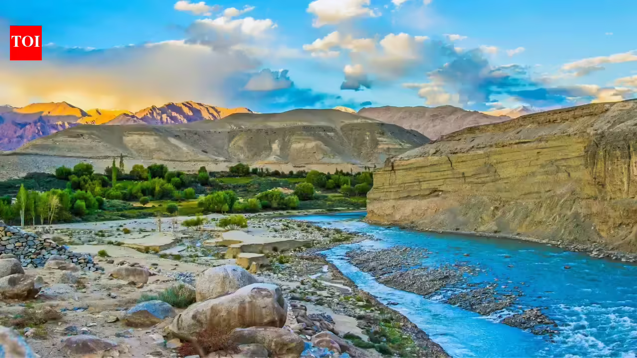
6) Indus (India Stretch) – Approx 1,114 km in India
The Indus is a transboundary river system with civilizational significance across South Asia. The India-length figure reflects only the stretch within Indian territory. In the Indian context, it is strongly associated with Ladakh’s high-altitude landscapes and tributary confluences.
Even where direct tourism access is limited by terrain or border context, the system remains important for geographic study, historical narratives, and mountain hydrology understanding.
7) Brahmaputra (India Stretch) – Approx 916 km in India
The Brahmaputra enters India through Arunachal Pradesh and flows across Assam, where its scale, sediment load, and flood dynamics define both opportunity and risk. It is among the most voluminous river systems in the region and supports floodplain agriculture, river islands, and wetland ecosystems.
Tributaries such as Dibang and Lohit contribute to the basin’s power. River cruises and floodplain ecology tours in Assam have made the Brahmaputra increasingly important in experiential travel planning.
8) Mahanadi – Approx 858 km
Mahanadi rises in central India and flows through Chhattisgarh and Odisha into the Bay of Bengal. Its basin is vital for irrigation, delta agriculture, and reservoir-linked development. The river also highlights the broader challenge of balancing irrigation, flood management, and ecological health in monsoon-dependent systems.
9) Kaveri (Cauvery) – Approx 805 km
Originating in Karnataka and flowing into Tamil Nadu, Kaveri is one of southern India’s most culturally and agriculturally important rivers. Tributaries and distribution channels support delta farming systems and multiple towns with deep temple-heritage identities. It is a prime example of how rivers shape both food systems and regional political-water discourse.
10) Tapti (Tapi) – Approx 724 km
Tapti is another major west-flowing peninsular river and drains into the Arabian Sea. Though shorter than many eastward systems, it remains significant for western India’s agriculture and basin settlements. Along with Narmada, it helps explain the diversity of drainage directions within India’s river geography.
Major River Systems in India
Himalayan Rivers
These rivers are typically snow-fed and perennial, with strong discharge behavior and large alluvial plains downstream. Ganga, Yamuna, and Brahmaputra-related systems fall in this category.
Peninsular Rivers
Generally older geological systems, often rain-fed and monsoon-sensitive in behavior, with substantial dam and irrigation infrastructure. Godavari, Krishna, Kaveri, Narmada, and Tapti are key examples.
Coastal and Short Basin Rivers
Many smaller coastal rivers drain quickly to nearby seas, especially in western coastal belts. Their basin scales are smaller, but local ecological and livelihood value remains high.
Why Indian Rivers Matter So Much
| Sector | River Contribution | Practical Impact |
|---|---|---|
| Agriculture | Irrigation and soil moisture support | Food security and rural livelihoods |
| Drinking water | Municipal and regional supplies | Urban and rural survival infrastructure |
| Energy | Hydropower and reservoir systems | Grid support and development projects |
| Culture | Pilgrimage, rituals, festivals | Civilizational continuity and identity |
| Biodiversity | Wetlands, fish habitats, floodplains | Ecological balance and species support |
Rivers also influence inland transport potential, tourism economies, and regional planning priorities. They are physical systems, cultural systems, and economic systems all at once.
River Facts and Useful Records
- Longest major river in India context: Ganga.
- Longest peninsular river: Godavari.
- Important west-flowing majors: Narmada and Tapti.
- High-discharge eastern giant: Brahmaputra (India stretch).
- Largest integrated plain influence: Ganga-Brahmaputra basin network.
These records are useful for quick comparisons, but basin behavior, discharge variability, and ecological complexity matter more than ranking alone in real-world water planning.
Environmental Concerns Across Indian Rivers
Despite their importance, many rivers face serious pressure from pollution, untreated urban discharge, sediment disruption, over-extraction, and encroachment of floodplains. Climate change adds uncertainty through glacial retreat patterns, rainfall intensity shifts, and prolonged dry spells in some regions.
River health is therefore not only about cleaning visible stretches. It requires basin-level action: sewage treatment upgrades, industrial compliance, wetland restoration, controlled sand mining, and smarter irrigation efficiency. Public awareness and local participation are equally critical for long-term outcomes.
River Tourism in India
River-focused travel can range from spiritual circuits to eco-education and soft adventure. Popular patterns include ghat experiences, river cruises, rafting corridors, and wetland birding zones.
- Ghat experiences: Varanasi, Haridwar, Rishikesh belts.
- Cruise-based exploration: Brahmaputra routes in Assam.
- Adventure: Rafting corridors in selected Himalayan stretches.
- Nature and culture: River-island and floodplain landscapes in northeast systems.
Responsible travel matters: avoid littering, respect local ecology and ritual zones, and choose operators that follow safety and environmental standards.
Final Takeaway
The longest rivers in India are not just geographic lines on a map—they are living systems that support agriculture, cities, biodiversity, and cultural continuity. Knowing the top 10 list is useful, but understanding each river’s basin role gives deeper insight into India’s environmental and economic future. Whether you are studying, traveling, or planning region-specific routes, these river systems remain central to how India moves, grows, and sustains life.
Location
Frequently Asked Questions
Q1.Which is the longest river in India?
Q2.What are the top 5 longest rivers in India?
Q3.Which is the longest river in South India?
Q4.How long is the Ganga river?
Q5.Where does the Ganga originate?
Q6.Why are rivers important to India?
Q7.Which rivers in India flow westward?
Q8.Is Brahmaputra longer than Ganga within India?
Recommended For You
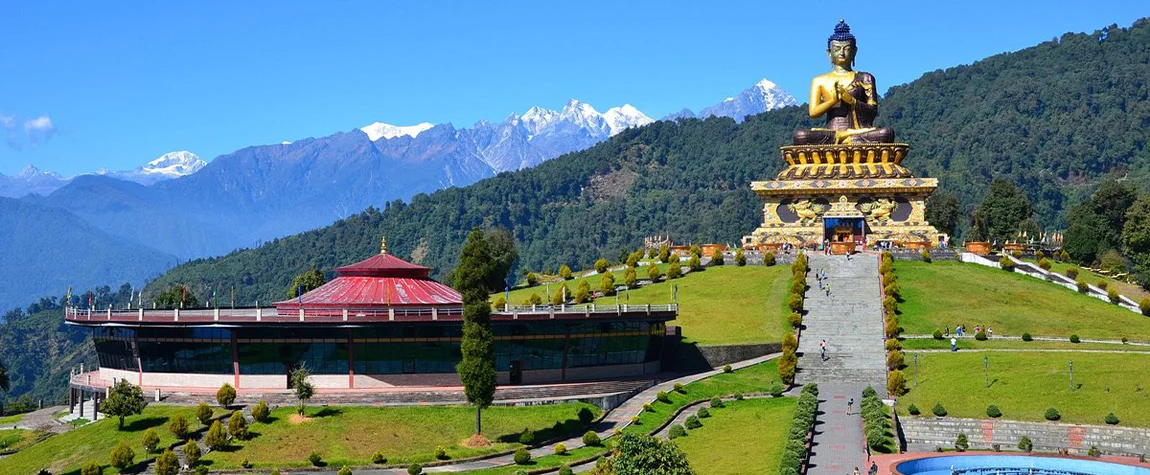
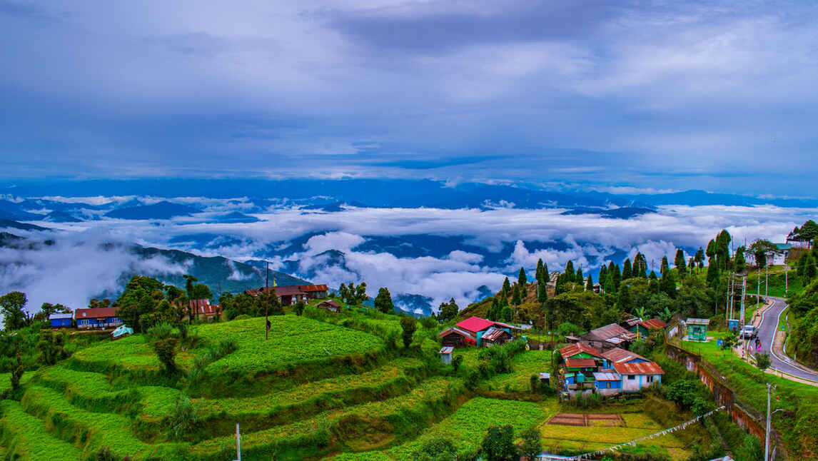
North East India Tourism: Itinerary Plans, Routes & Travel Seasons
Plan North East India tourism with route-based itinerary ideas, state-wise season tips, and practical budget guidance.
Offbeat Places to Visit in India: 50 Hidden Gems by Region
Explore 50 offbeat places to visit in India with a regional breakdown of hidden gems, less-crowded destinations, and practical travel planning tips.
50 Best Places to Visit in India: Region-Wise Bucket List
Discover the best places to visit in India by region, season, and travel style with a complete guide covering mountains, beaches, heritage, wildlife, and islands.
Never Miss an Adventure
Get the latest trekking guides, travel tips, and exclusive offers delivered straight to your inbox.